
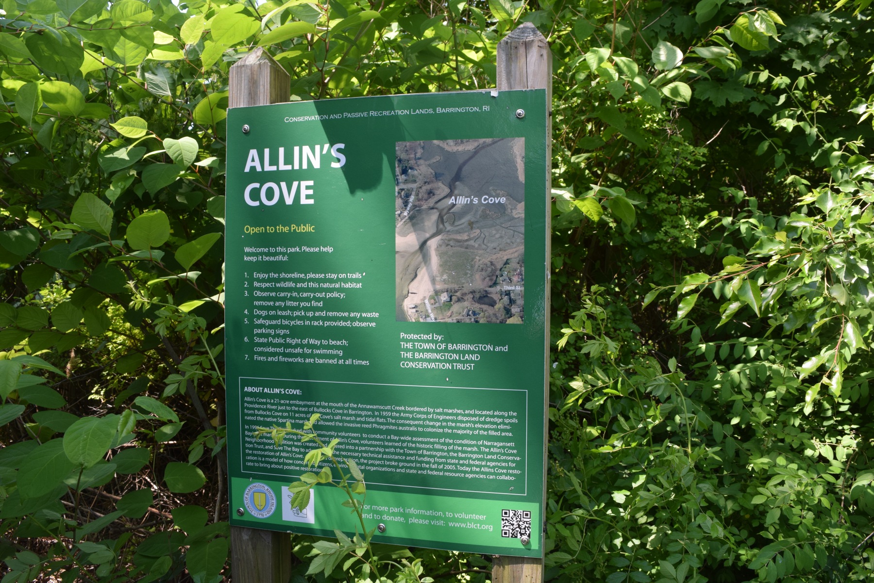

Location:
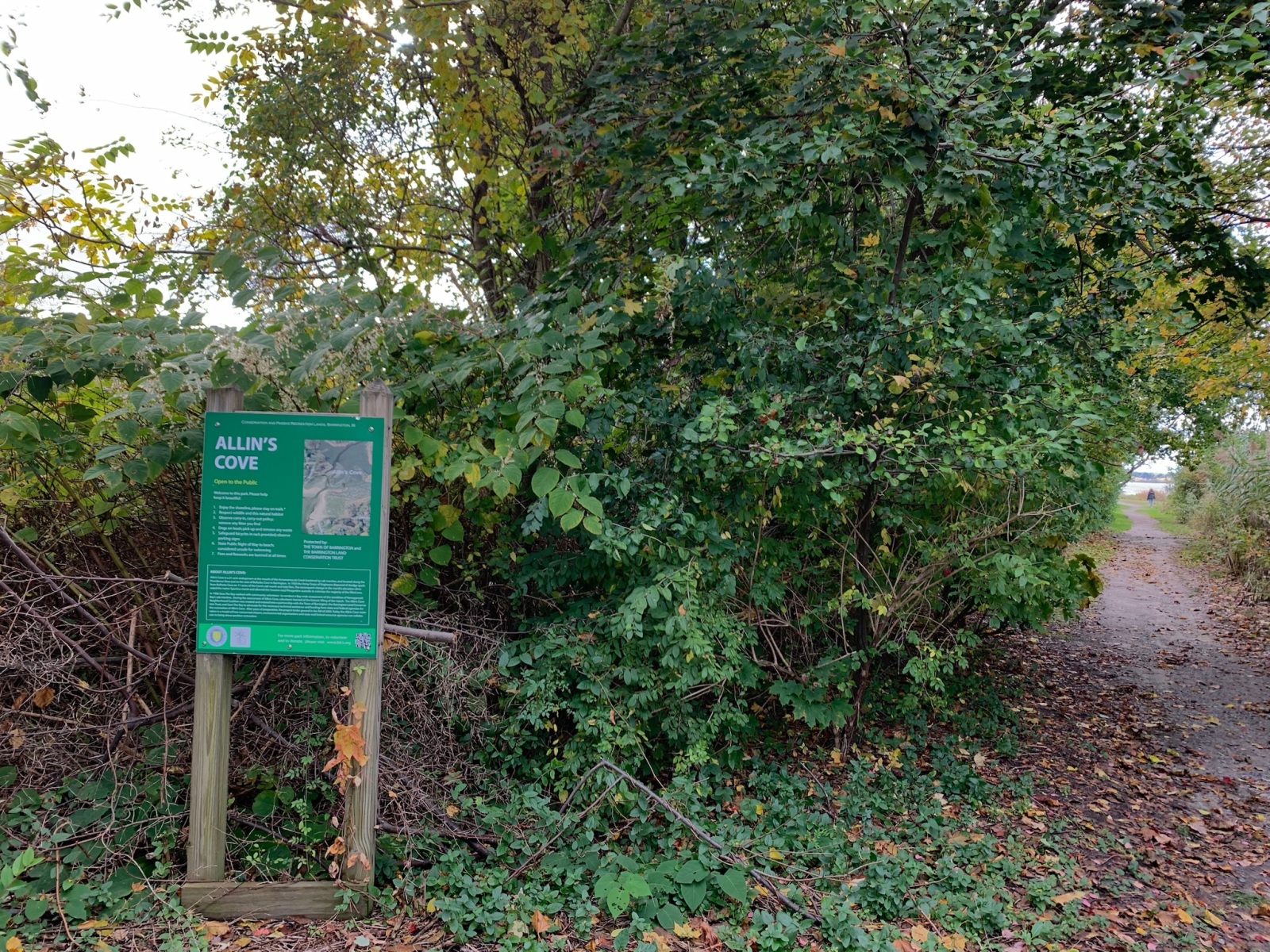
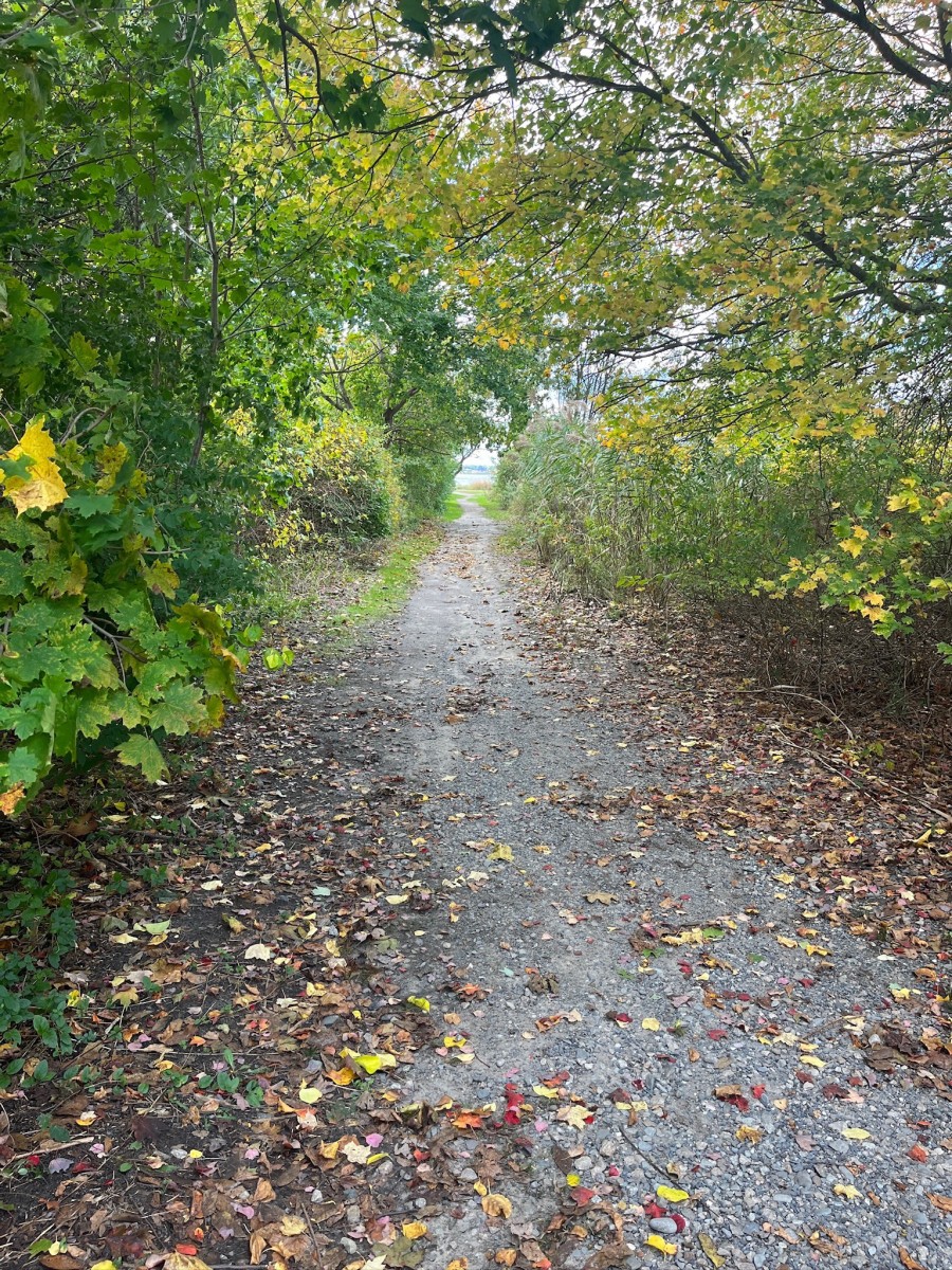
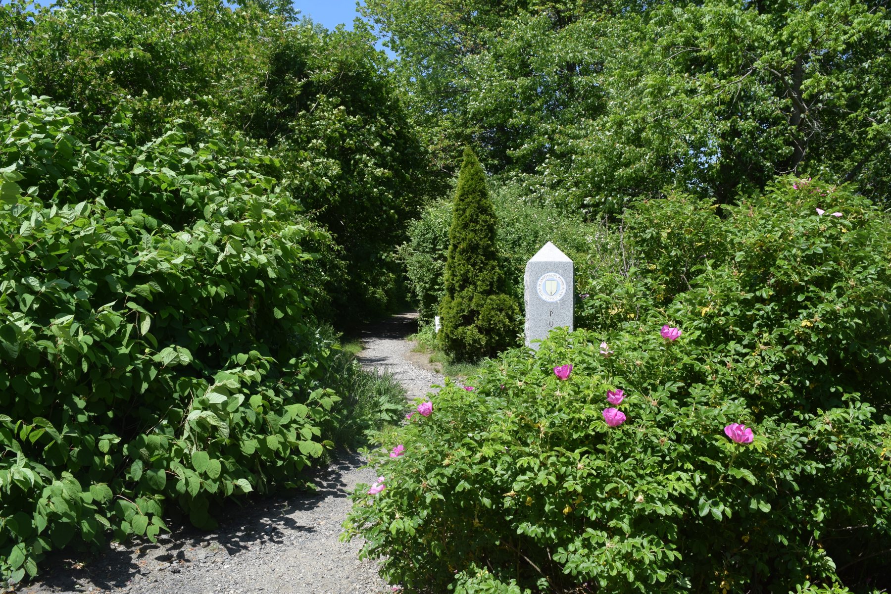
The entrance to Allin’s Cove Conservation Area is located at the bottom of Third Street in Barrington, RI. Parking is not allowed on Third Street. See below for parking recommendations.
Overview:
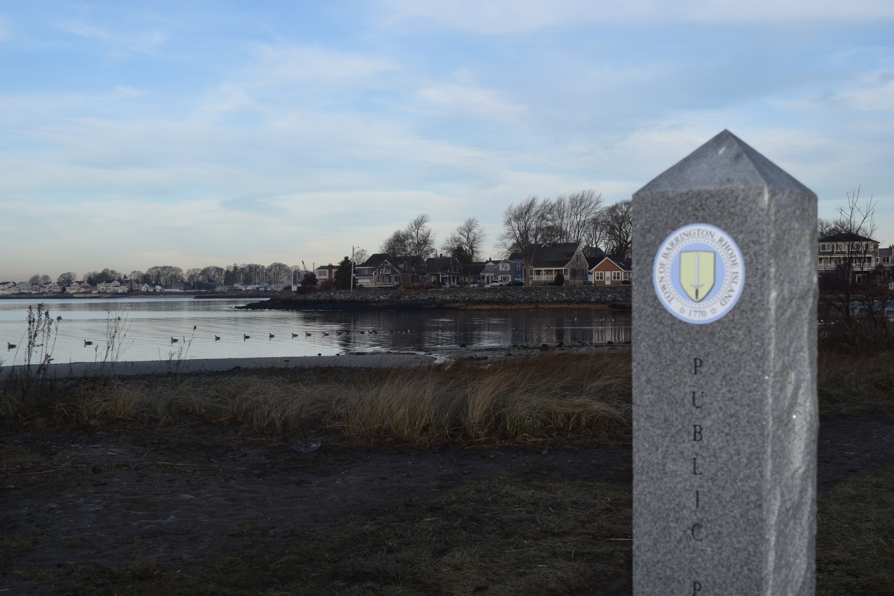
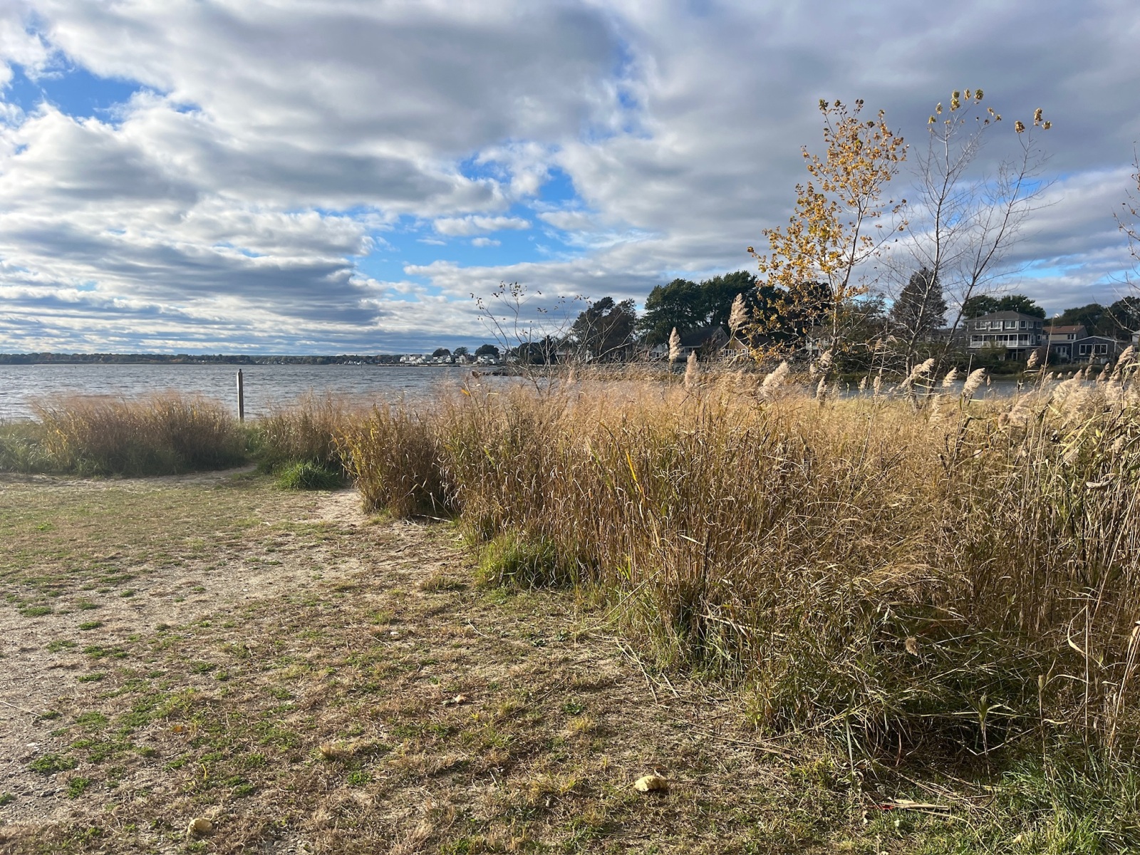
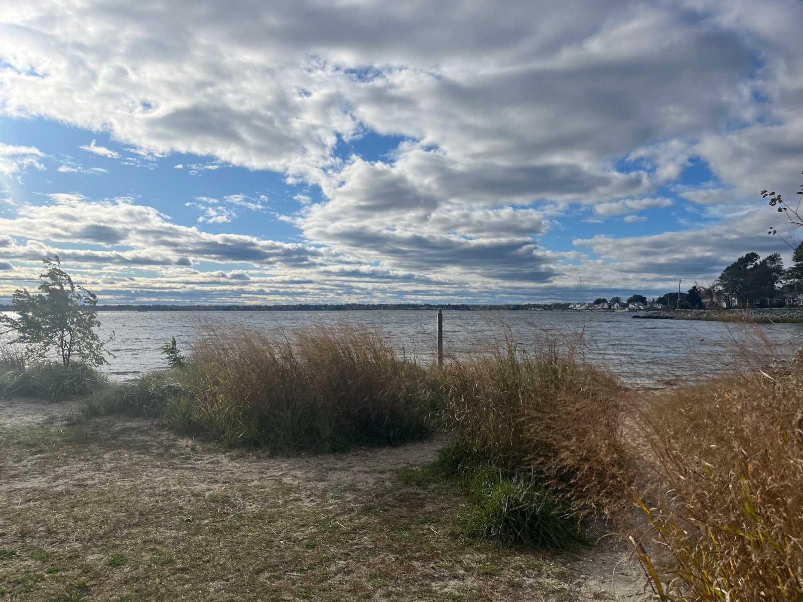
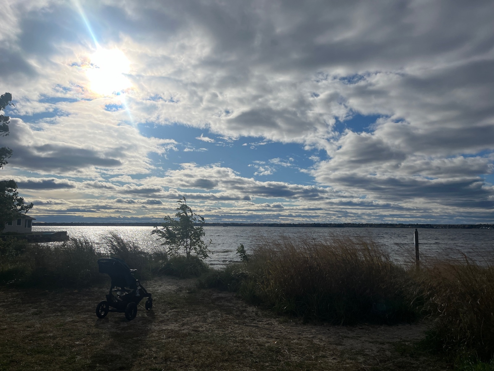
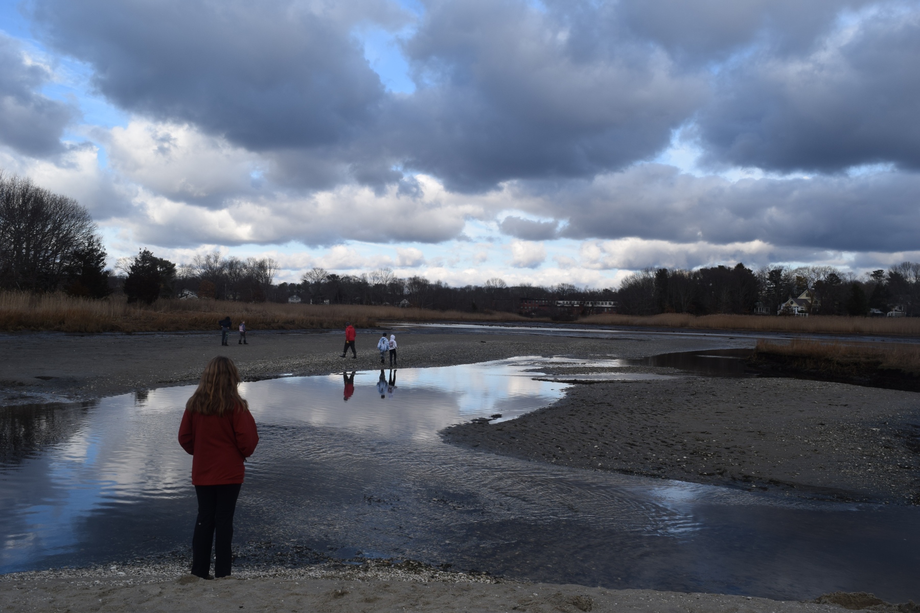
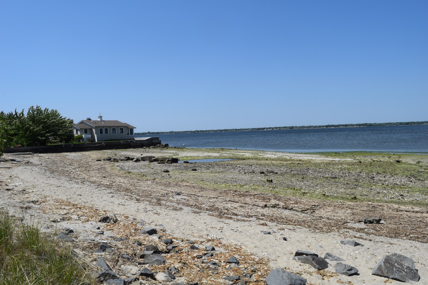
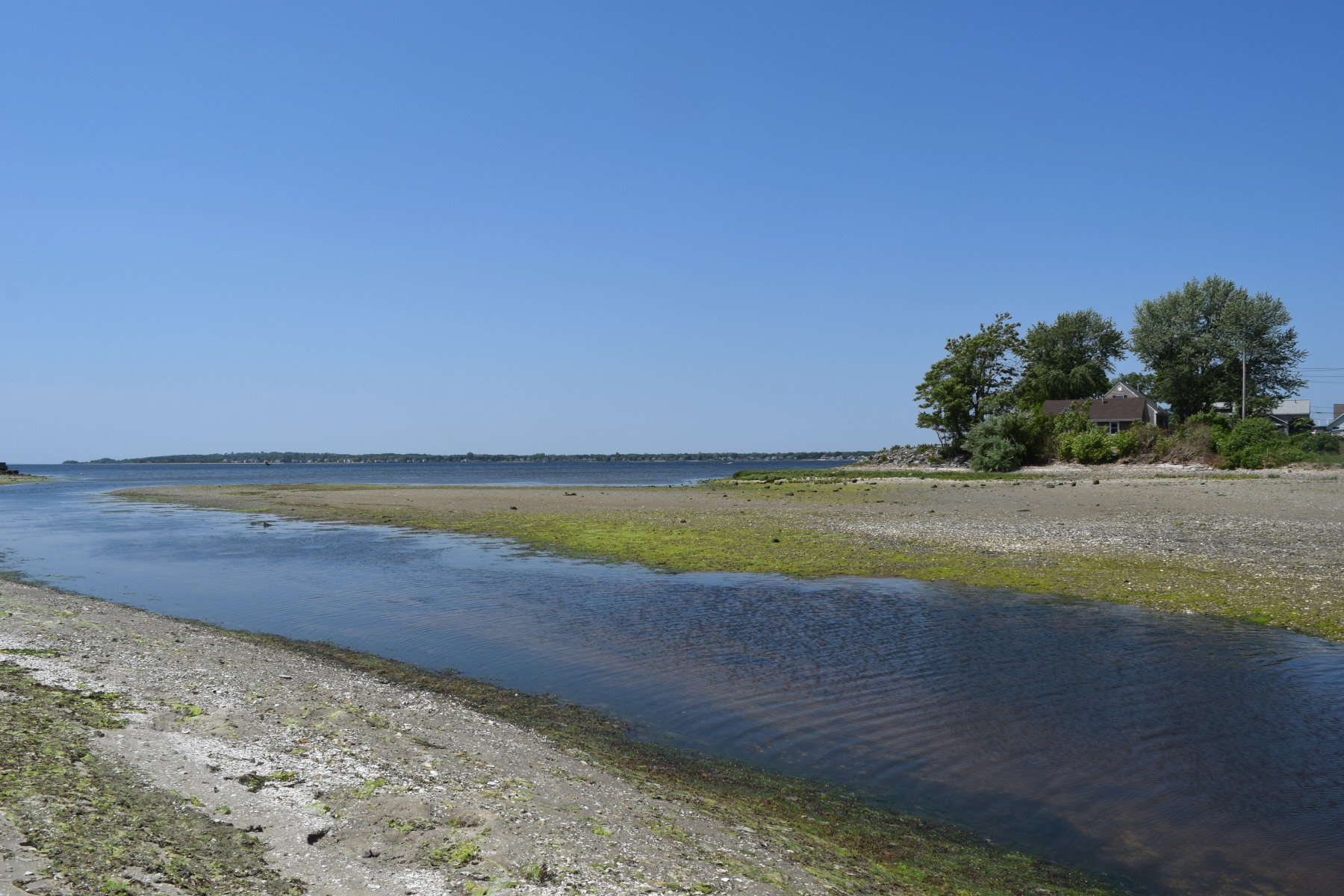
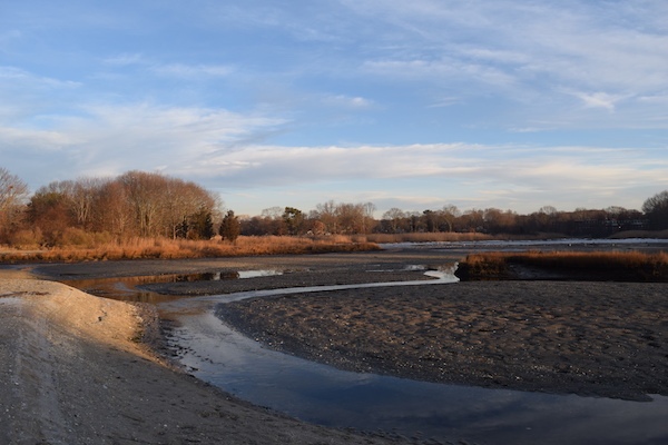
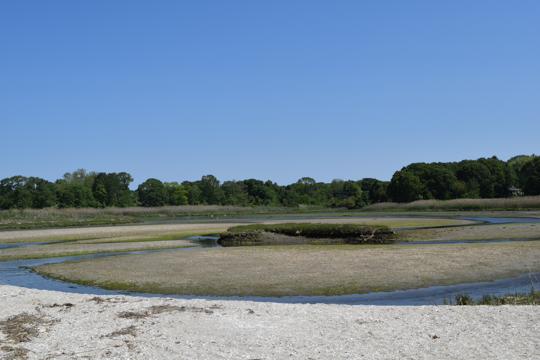
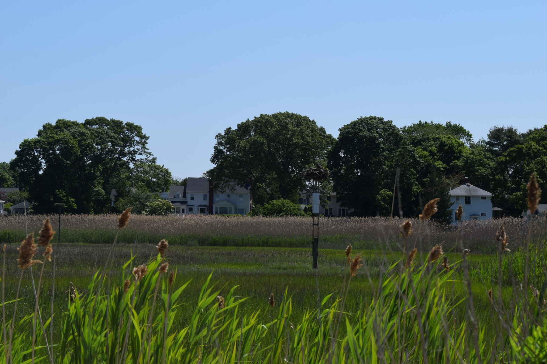
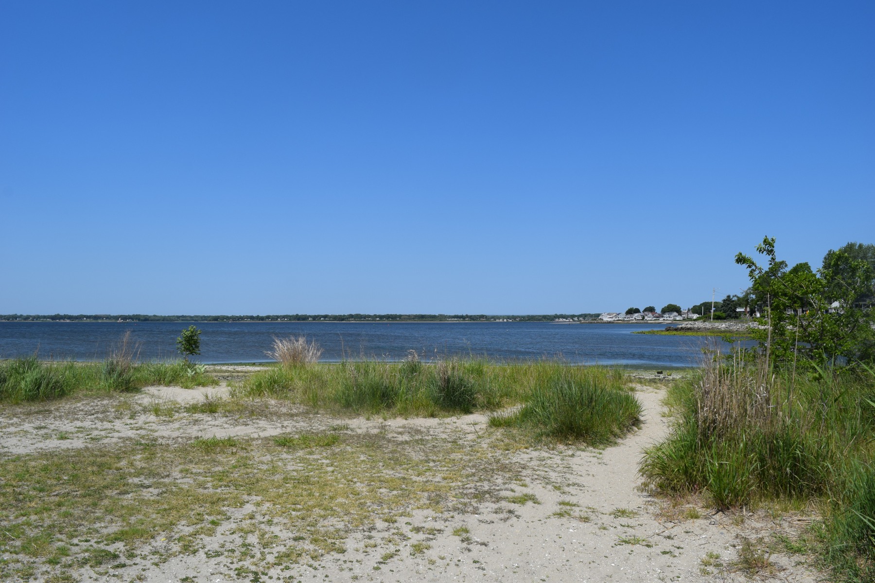
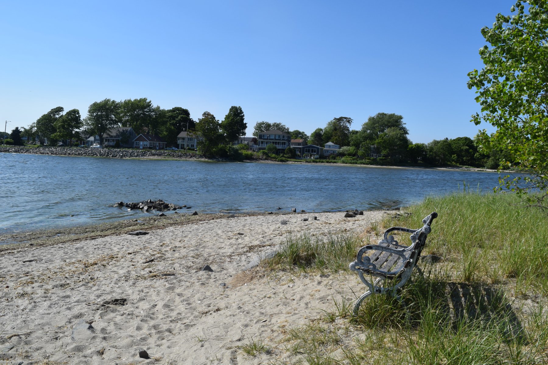
Allin’s Cove Conservation Area is a 20-acre stretch of marsh, grassland and wooded upland surrounding a tidal cove along the Providence River in the Northwest corner of Barrington, RI. The Cove was named for General Thomas Allin, whose grave still stands in a nearby graveyard.
In the early to mid-1900s, manufacturing facilities in the nearby Bay Spring Village pumped pollution from dye vats and other sources directly into the Cove. In 1959, the Army Corps of Engineers disposed of dredge spoils on 11 acres of salt marsh and tidal flats at the Cove.
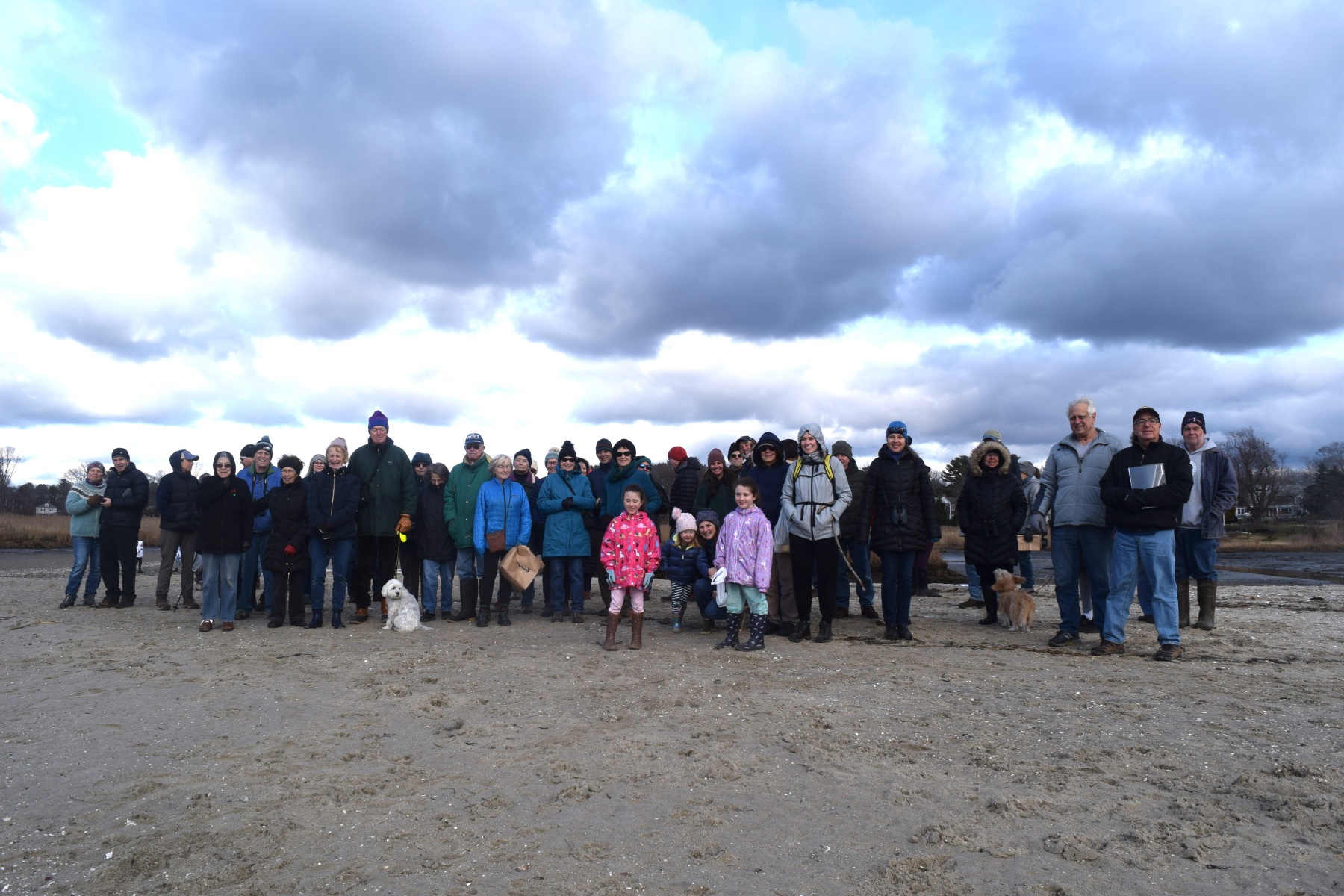
In the late 1990s, restoration efforts began through a partnership with neighborhood advocates, Save the Bay, the Town of Barrington, and the Barrington Land Conservation Trust. The Coastal Resource Management Council obtained a reparation agreement from the U.S. Army Corps of Engineers, resulting in a $760K project to relocate the channel in the cove and restore the salt marsh.
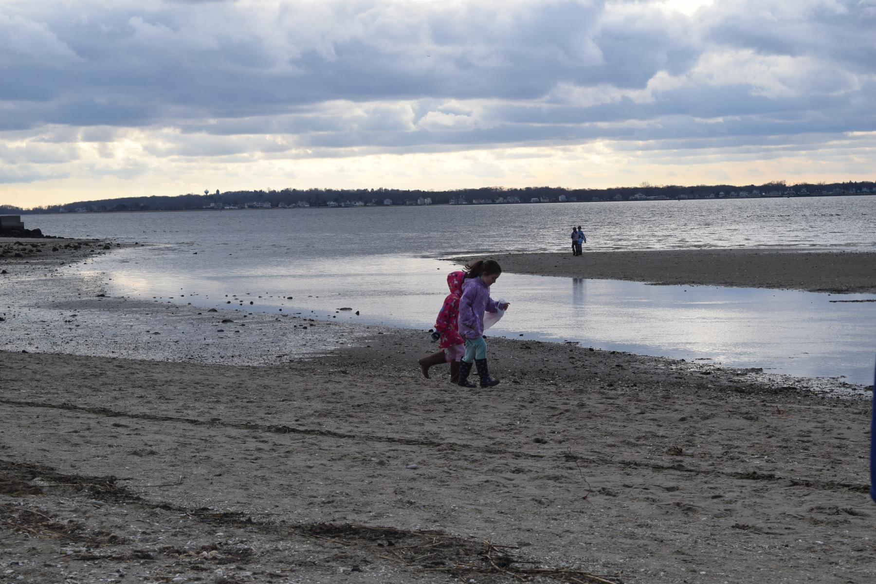
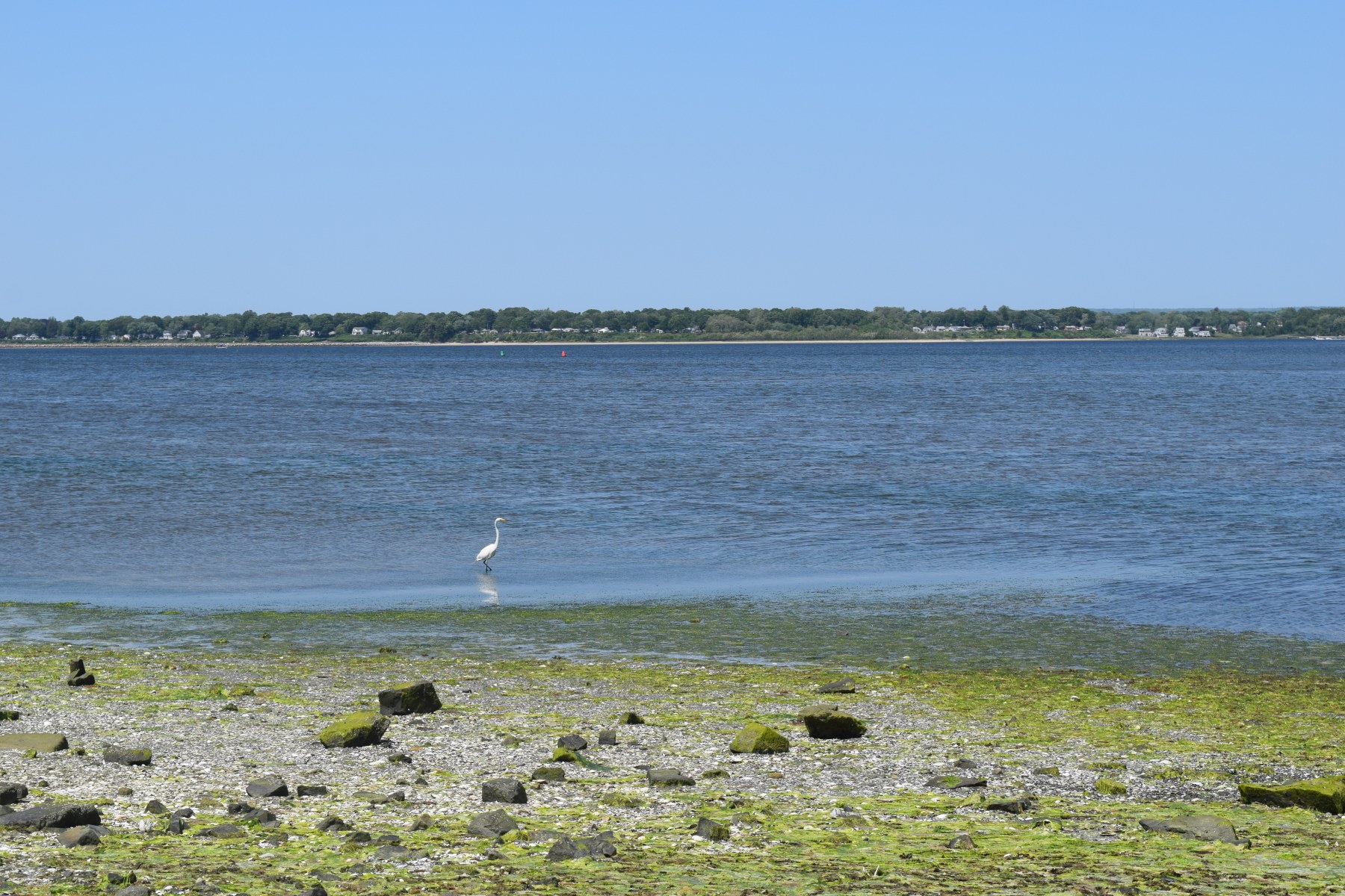
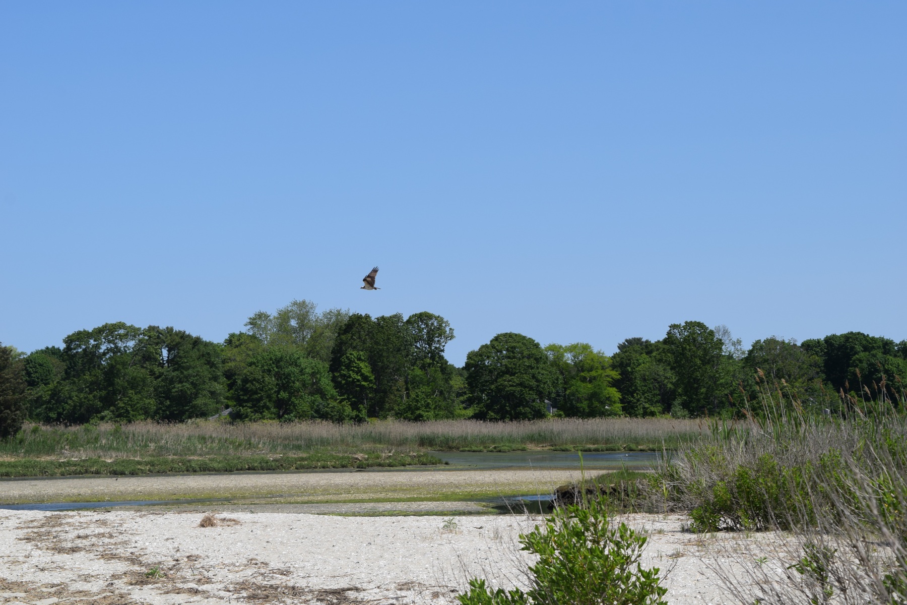
The cove supports a variety of aquatic species, raptors, song birds, mammals and pollinating insects.
Access Level:
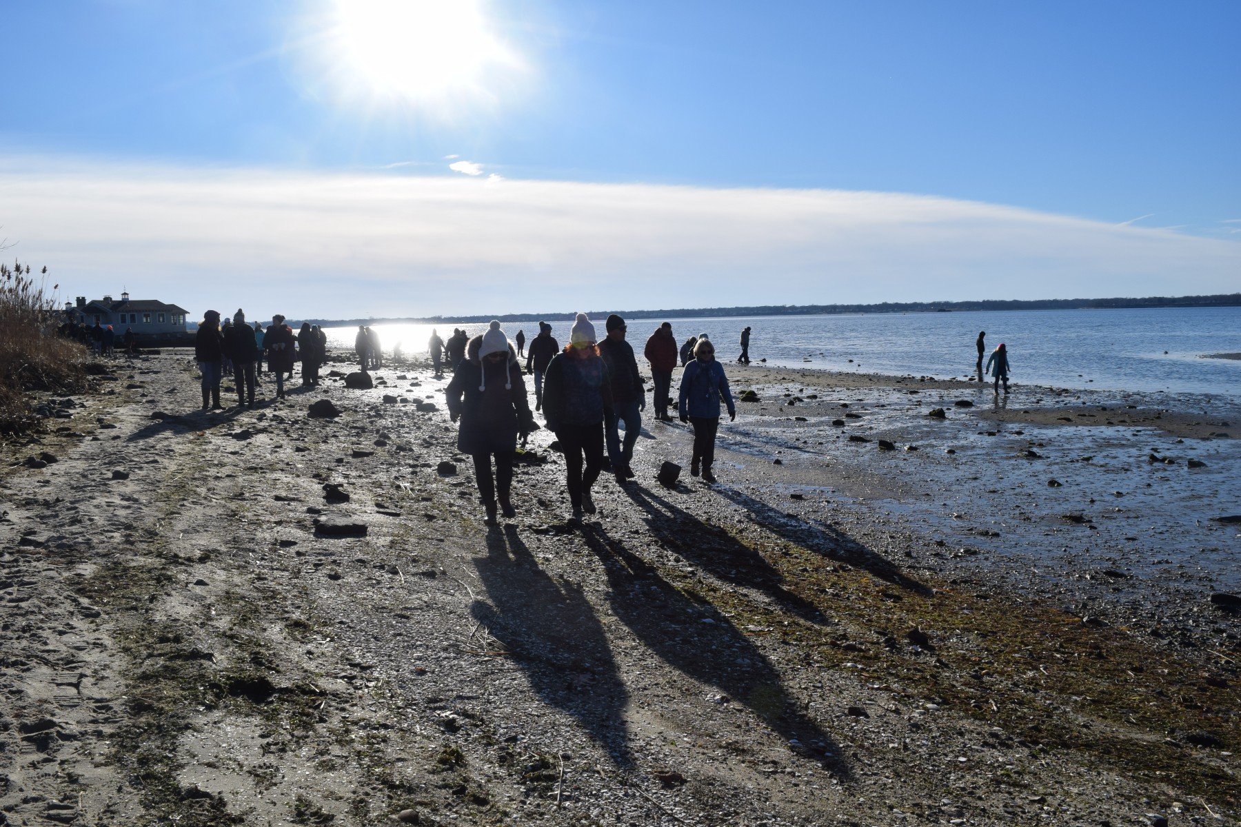
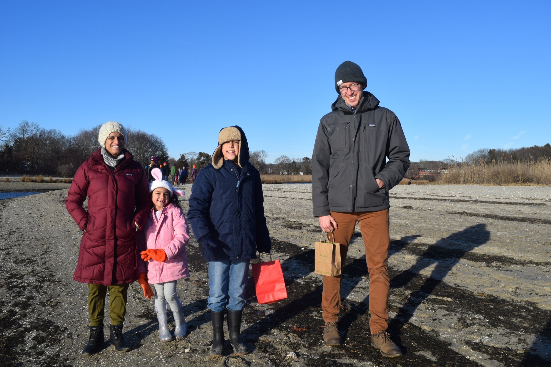
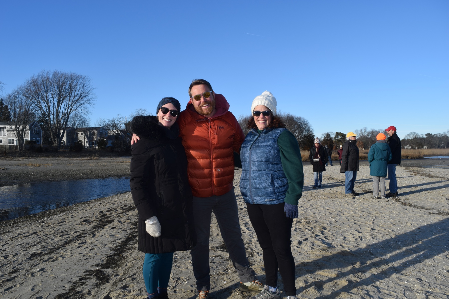
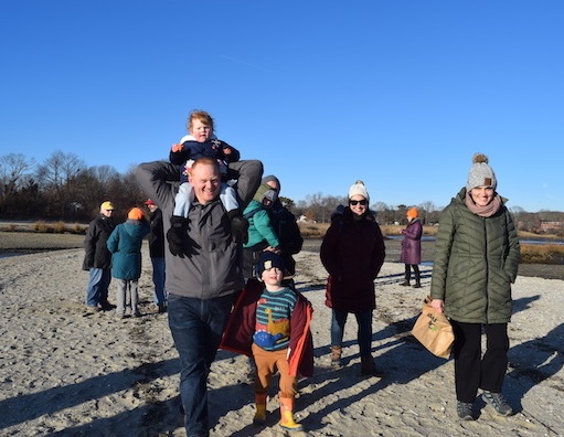
Allin’s Cove is a public access property, open to the public from dawn to dusk, 365 days a year.
Know Before You Go:
Dogs must be kept on leashes; dog waste must be removed by owners.
Parking Information:
There is no parking on Third Street, the primary entrance to Allin’s Cove. Walkers may enter at Third Street or off Willow Way. You may bicycle to the entrance and walk your bicycle down the path to the beach.
Parking is not allowed on most streets in this neighborhood. See map below for limited street-side parking on Chapel Road, a good starting point for Allin’s Cove if you’re driving.